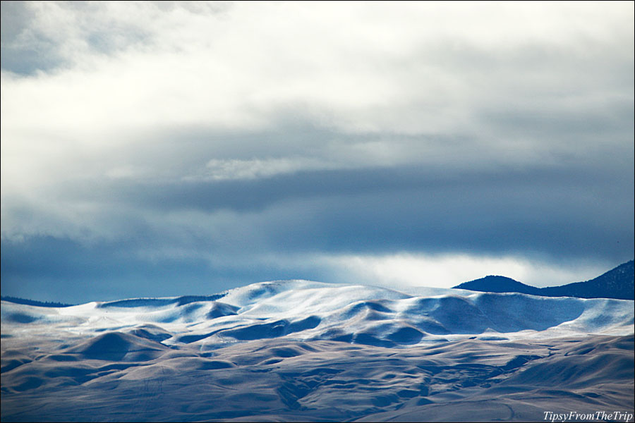
If you’ve traveled from Northern California to the Southern part of the state; say Los Angeles or San Diego, you must have definitely taken note of the mountains you get onto at the very end of California’s great valley. Here, you take the Tejon Pass to get to ‘SoCal.’
Now have you had the chance to see what’s it’s like when it gets some snow? If not, you will have seen that by the end of this post. 🙂 And if you have never been that side, this is your chance for a virtual trip to those mountains. 😉
First, some snow on Tejon Pass
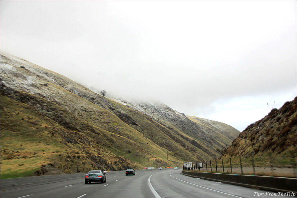
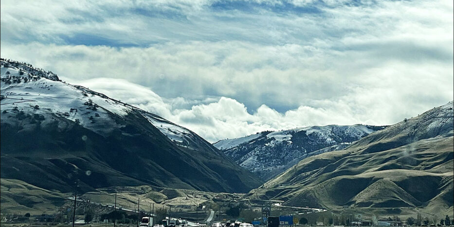
Last month we’d made a trip to Irvine and San Diego. And just before we left, the state had had some days of rain, and the valley had gotten a few weeks of fog. In fact, it was foggy and rainy in the San Joaquin Valley when we were driving that side, too. When we got to Tejon Pass, we saw that it had gotten a dusting of snow.
A not so ‘warm’ welcome to the mountains but it sure was a welcoming sight!
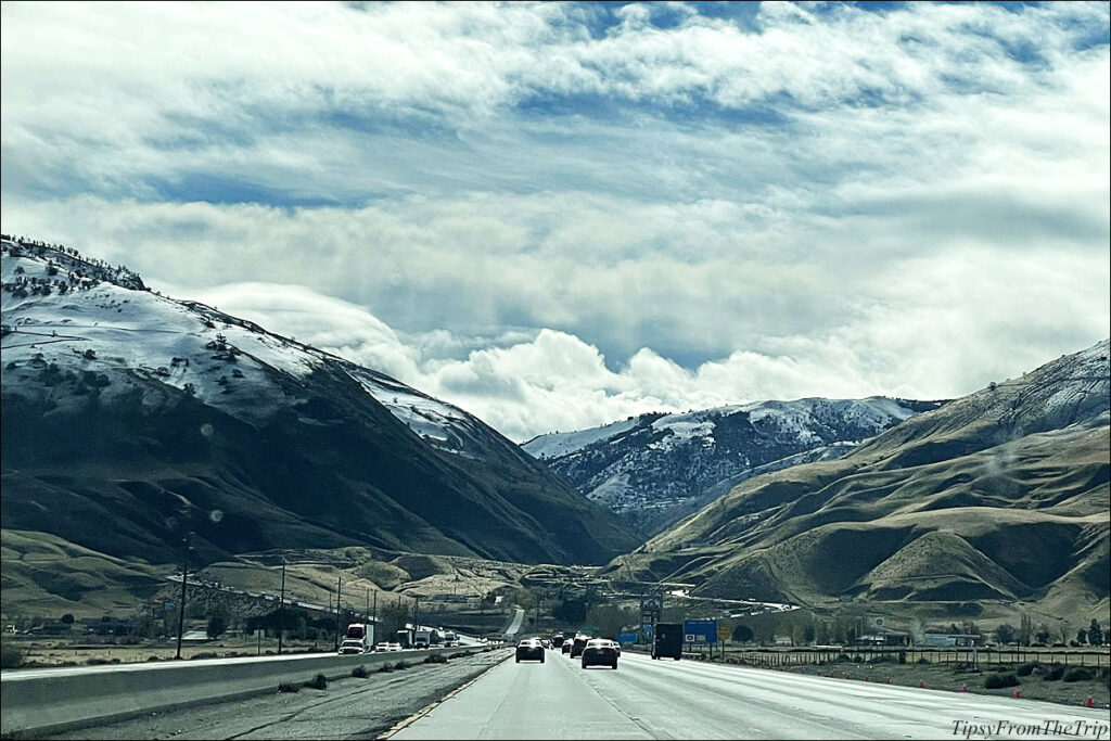
From the Archives
Some years ago, when we were on a return drive to ‘NorCal,’ we had a surprise drive through the snow there. Although we had gone that way several times, I don’t think we’d passed ‘the pass’ in winter, and we weren’t exactly keeping track of the weather forecast for the places ‘on the way.’ So, a surprise, it was.
First, we noticed the traffic come to a crawl. Then it almost stopped around those curves of the mountain pass.
Then it looked like there was fog ahead. Later, the fresh dusting would come into sight. And before we knew it, we were in the thick of it all. I must say it was a pretty sight.


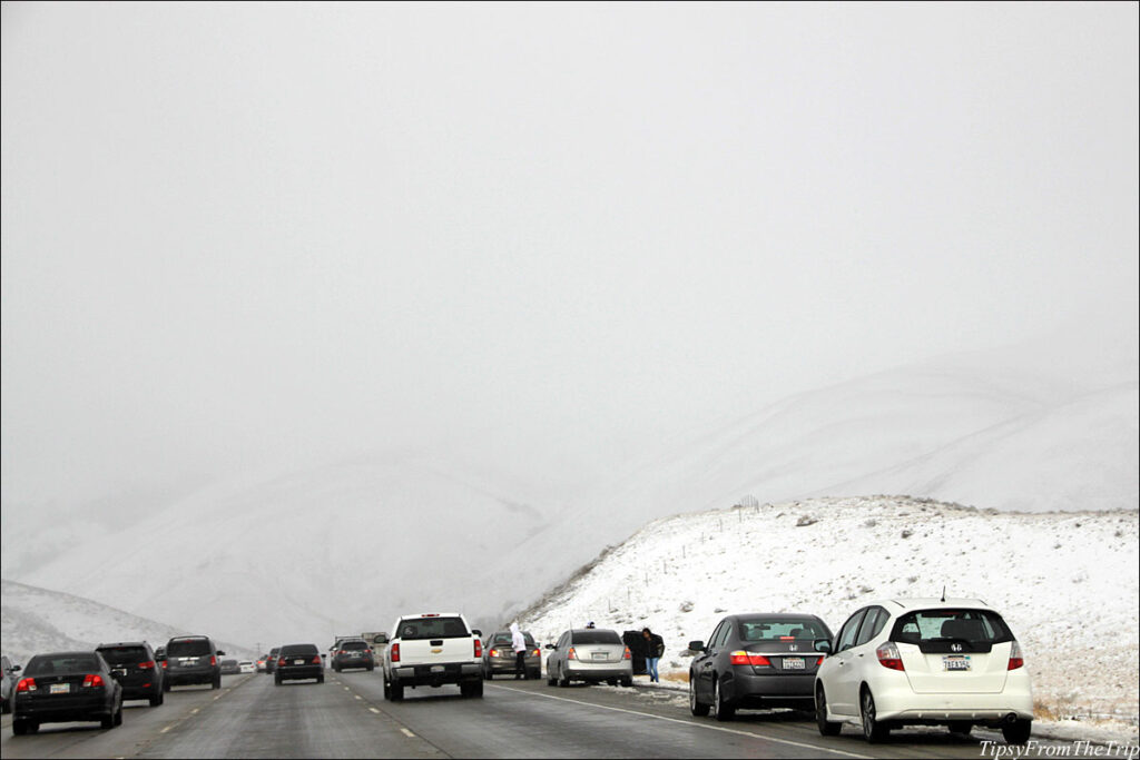
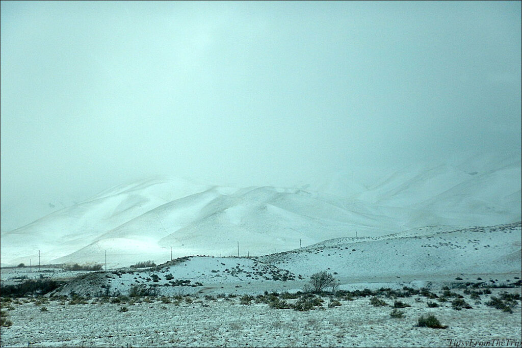
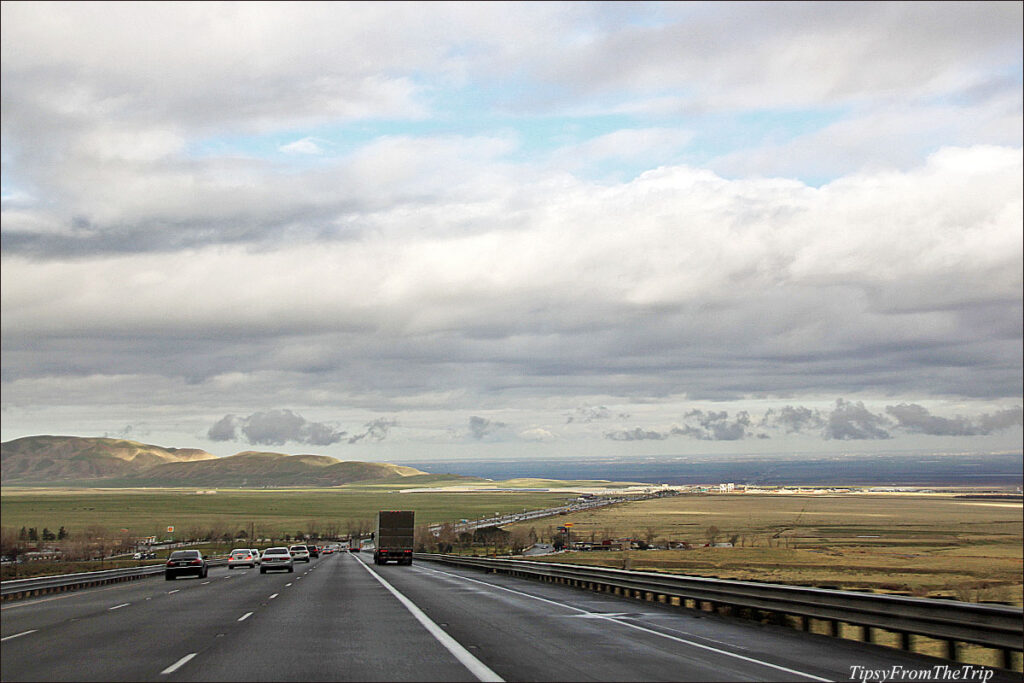
After a bit more of the slow traffic, the air began to clear. And we could see some green on the mountainsides.
And then when the mountains gave way to the vast central valley of California.
Tejon Pass
Tejon Pass is a mountain pass on the southwestern part of the Tehachapi Mountains which functions as the gateway to Los Angeles County in the south, and the Mojave Desert in the southeastern part of California.
If you are traveling from the north, the Pass begins at Grapevine, CA goes up to 4100 odd feet in elevation before it gradually descends into the Santa Clarita area. The most dramatic part of the drive, I think is when you’re driving north on Interstate 5 and as you’re getting to the end of the pass: here as the highway drops from the mountains and into San Joaquin Valley you see this panoramic sight of the vast plains.
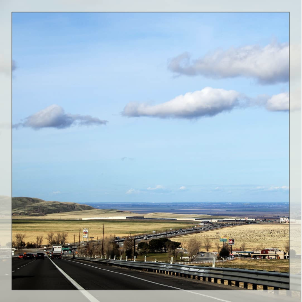
To make this virtual trip a ‘complete’ one, let me share a little clip of the drive through the Tejon Pass and Angeles National forest. Look out for a glimpse of a pretty Pyramid Lake at the end.
#DidYouKnow…
…that Tejon means ‘badger’ and how Tejon Pass gets its name?
In 1806, Father Jose Maria Zalvidea, diarist for the expedition of First Lieutenant Francisco Ruiz into the San Joaquin Valley, named the canyon, creek, and pass which had been discovered in 1776 by the explorer priest, Father Francisco Garces. He recorded the name as “Tejon” (badger)—after a dead badger found at the canyon’s mouth. This original Tejon Pass (later called “Old Tejon Pass”), was situated 15 miles to the northeast of what is now Tejon Pass.
— From Wikipedia.
Happy 2022. Happy tripping in the new year.
Remember to stay safe. (We’re not out of the covid woods, yet. :-|)
Take care.
Linking to --
Our World
My Corner of the World
For pictures from the road, Like/Follow Tipsy From The TRIP on Facebook.
Come, Trip with us. 😉







I enjoyed your Post, thank you for sharing.
Thank you for visiting, Heidi. 🙂
Informative post with beautiful pictures…
Thank you, Ashish. 🙂
Wow, the first look like paintings! Not a snow fan, but through a blog it´s beautiful.
Not for real when you have to drive to work through it every day after scratching your car free from snow and ice…. Glad our snow just quickly melted away.
I’m sure it’s not easy to get around in the snow. We don’t get snow where we live so it’s fun when we get to see some/ play in some snow. 😬
I hope you are keeping warm.
Take care, Iris. 🙂
Wow! Awesome nature photos ~ Xo
Wishing you happiness in your days,
A ShutterBug Explores,
aka (A Creative Harbor)
Thank you, Carol.
I hope things have not been too bad there — with last week’s blizzard and all.
Stay warm! 🙂
…it this part of the country, elevation make a huge difference! Take care and stay well.
Oh yes!
After all, this is where the highest point and the lowest point (of the lower 48 states) lie almost side by side. 🙂 How cool is that!
You take care too, Tom. 🙂
Love the photos.
The views are spectacular!
Have a great weekend!
Thank you, Veronica.
:)🙂
Gorgeous landscapes!
🙂
I loved the video and the picture above these line “After a bit more of the slow traffic, the air began to clear. And we could see some green on the mountainsides.” It is so pretty it gave me goosebumps!
Long time, Mridula.
I hope you’re doing well.
I’m glad you liked it. Oh yeah — I remember that drive so well. The white from the snow was so beautiful. It was so nice to see the green as we were leaving the mountains, too.
Thank you so much, Mridula. 🙂
Stunning pics
Thank you, Rupam. 🙂
[…] You might also want to see :Tehachapi PassWhen it snows on Tejon Pass […]