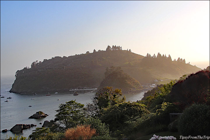
I haven’t done a lot of coastal hikes but the ones I’ve done have all been wonderful and memorable. Even when the list gets long, I’m sure that this one will be among my favorites and you’ll soon see why. Come along, let’s hike Trinidad Head!
Trinidad Head as you might have already guessed, is in Trinidad, California. It’s on the westernmost part of the city, jutting out into the Pacific and marking the northwestern end of Trinidad Bay. This rocky headland topped with rich green coastal vegetation is a delightful place for a hike. If you can handle a close-to 2-mile hike with some elevation gain, I say you should go for it.
Trinidad Head Loop Trail
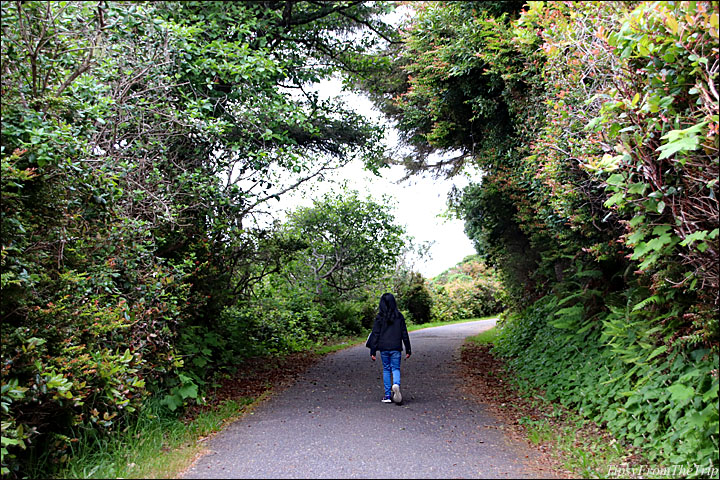
The hike starts at the parking lot for the pier and Trinidad State Beach. You’ll see some steps leading up the hill at a corner of the lot. If you’d prefer a gradual ascent, you can take the paved path by the Trinidad Memorial Lighthouse (the little lighthouse by the lot) and it will lead you to the trail.
This trail is a loop and when you get to where the path forks, you can take either route. However, having been on that trail, I’d say, if you want an easy climb take the path on the right, and if you’d like to feel the elevation gain first and be done with it soon, take the path on the left.
We choose to go left, that is — continue on the gravel path that takes you up the hill (and to the Trinidad Head Lighthouse, on the days that it’s open) and then went on to circle the headland. And I must say this clockwise walk worked well for us. It turned out to be the best route and this is what I would suggest for you too (unless you have knee issues, or it’s a rather hot day and you only want to do a part of it).
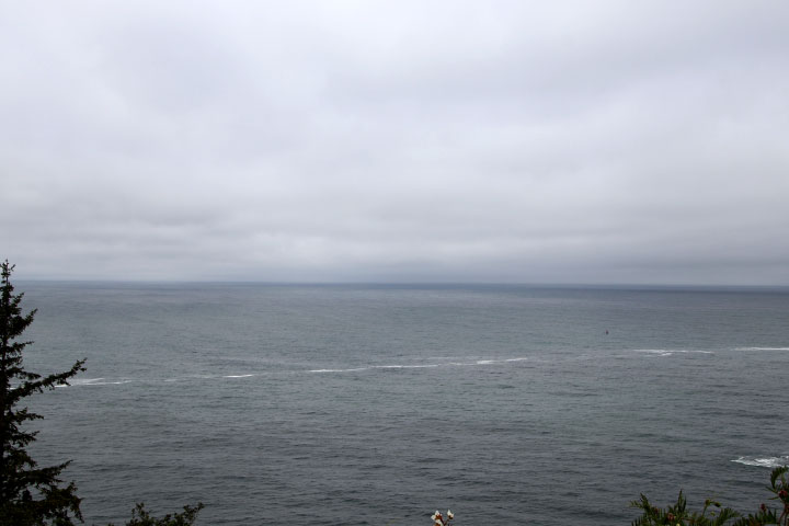
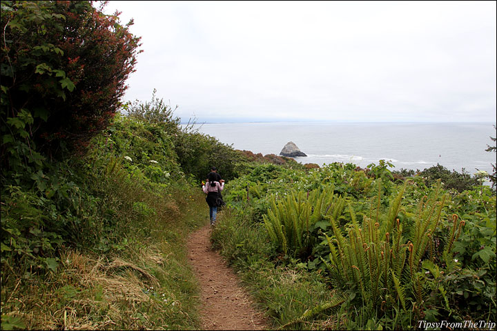
When you take the clockwise route, as you go along, you go higher and higher on the same side of the headland because there are a couple of switchbacks, and you get to see the Launcher Beach and the town of Trinidad from different elevations, and it’s an absolute visual treat! Once at the top, you begin to begin to go around Trinidad Head and the path narrows down to a small unpaved trail and meanders through rocks, over tree roots and through lush greenery ornamented with wildflowers of all colors. (We went in late spring and there was a burst of colors on that side! It seemed like the best time to be up there.) And then, there were the vast views of the Pacific Ocean, more sea stacks and some frothy patches that seemed to line up along the rocks. (I wonder what that was!)
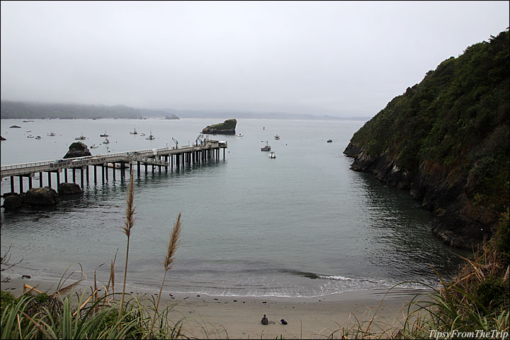
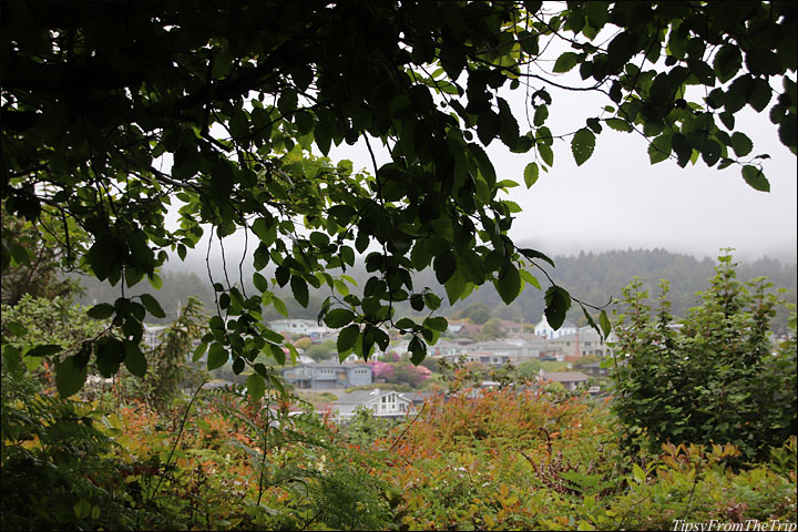
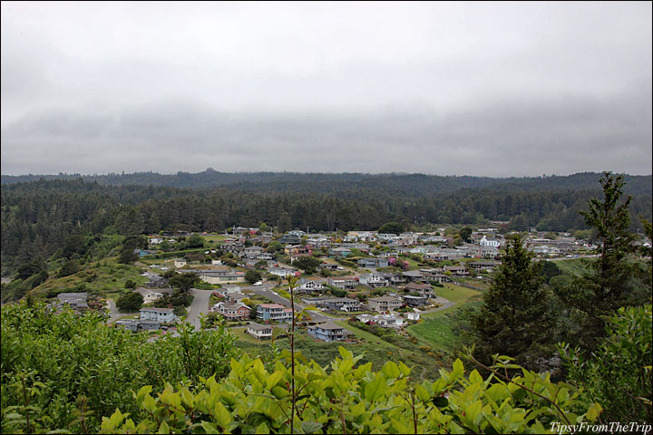
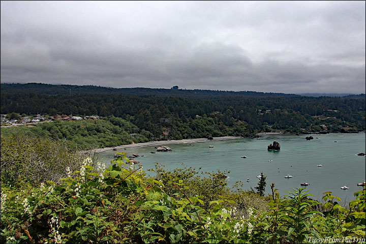
And if you want more views, walk out to the spurs along the trail.
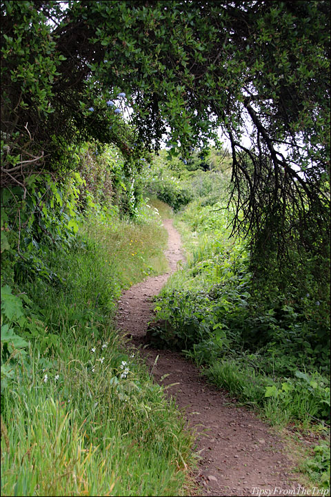
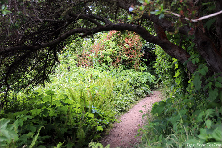
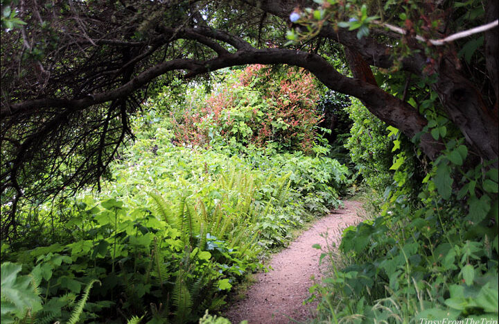
Something else that cannot be omitted from this account of that hike are the tree tunnels along the way. There are so many of them and I loved the touches they added to his hike. I would say that these canopies also defined the trail and weren’t they photogenic!
I must warn you, however, that the latter parts of this hike had very few people on the trail. The thicket was wild and dark in the northeastern part of the promontory but it had a charm of its own. I thought it added a nice finish, and I was really glad that we picked this route!
Things to know before you hike Trinidad Head
- The hike is 1.7 miles.
- There is an elevation gain of 314 ft.
- The trail is a loop. Go anti-clockwise if you’d prefer a slow and gradual ascend
- The trail is not wheelchair accessible.
- It is said to be a popular trail however it was moderately trafficked but only on the eastern side. The western side was pretty deserted when we hiked that way on a weekday. If you’re hiking with little kids, make sure they’re watching their step.
- The views are great!
- The canopies along the way are an enchanting addition to the trail
- The lighthouse is open to public on the first Saturday of the month, alone.
Short videos for a sneak peak of — Trinidad Head Trail and the Canopies of Trinidad Head
A closer look at Trinidad, CA —
A Tranquil Town tucked away in the North Coast
More:
Coastal Trails
Recommended California Hikes
And if you need some motivation to hike, try the 52Hikes Challenge! It’s a great way to spend some time outdoors, explore your local area and most of all feel good! Sign up for 52 Hikes.
Feel free to send me links to your blogposts and social media posts and I’ll be happy to re-share them. 🙂
Linking to–
My Corner of the World
For tidbits from the road, Like/Follow Tipsy From The TRIP on Facebook or Instagram
Come, Trip with us. 😉






Beautiful views captured!
🙂
Thank you so much for coming this way, Magiceye.
Wow! What an awesome trail to hike and awesome photos too ~
Wishing you good health, laughter and love in your days,
A ShutterBug Explores,
aka (A Creative Harbor)
I swear!
I fell in love with this area and the this trail.
Thank you so much, Carol.
Happy summer to you. 🙂
Take care. 🙂
…Dee, thanks for taking me along on this hike, I couldn’t have done it without you. Where are we off to next? Take care and I hope that you are having a fabulous week.
Haha! 😀
It was a pleasure to take you along.
Maybe somewhere local. Will show you some places around my backyard — in and around the San Francisco Bay Area, Tom. 🙂
(… because we just did 2 back to back trips. )
Thanks Tom.
You take care, too. 🙂
Amazing views, trail looks great, Loved all clicks.
Thanks a ton, Rupam.
It really is a great trail.
Really nice part of the state. I wish to revisit some day.
Oh yes! Really nice: gorgeous and kinda quiet. Love it!
I’d like to go back, too.
Thank you for visiting, M. 🙂